 My experience list
 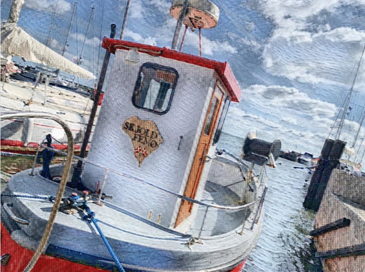 Photo: Radius25
 Besøg Femø | 11,38 km² Rundt, Kort, Cykelruter, Anmeldelser & Færge
4.4Based on 37 reviews on Google
Description:
Plan your trip to Femø – a charming little island in the Småland waters with beautiful nature, quiet beaches and a very special island atmosphere. Femø is known for its cycle-friendly roads, idyllic villages and cosy harbour, from which there is a ferry connection to Kragenæs on Lolland. The island offers walks in peaceful landscapes, beach life, fishing and rich birdlife, making it an ideal destination for nature lovers. In the summer, Femø is particularly known for the Femø Jazz Festival, which attracts guests from all over the world with music, culture and community. Here you will find small accommodation, summer houses and good opportunities for camping. Local farm shops, arts and crafts provide extra experiences on the trip. Femø is the perfect destination for a day trip or a longer holiday, where peace, authenticity and closeness to nature are at the heart.
Opening hours:
24/7Links:


Foreslå en ændring:

Address:
Femø Havn 14943 Femø
Directions