 My experience list
 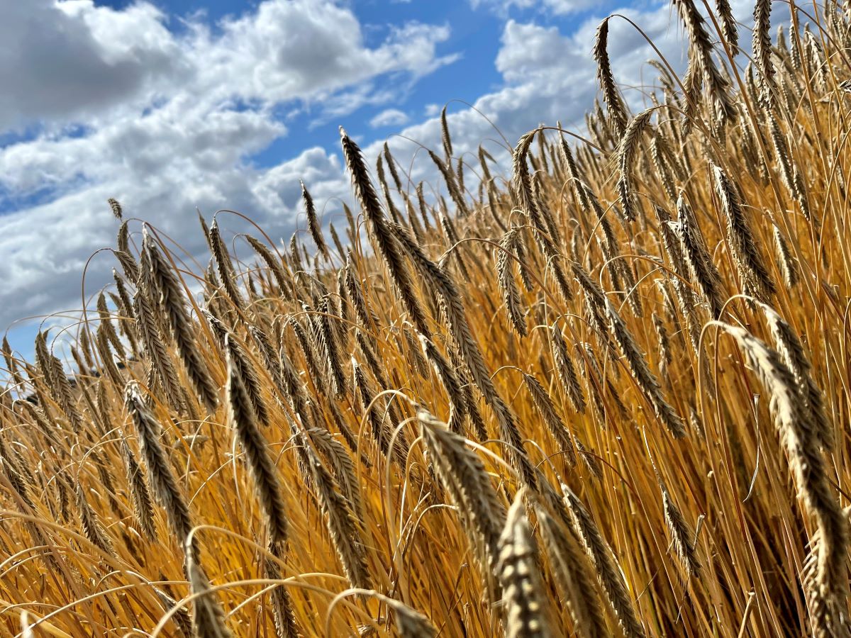 Photo: Radius25
 Halsninoen | Nordsjællandsk Vandretur, Vandrerute & Vandrekort
Description:
The Halsninoen is a 52.7 km hiking route that stretches through the beautiful Halsnæs area in North Zealand, Denmark. This scenic route offers a rich diversity of landscapes and nature experiences for hikers who wish to explore this part of the country. Here is a detailed description of the Halsnino:
Description of the Route:
The Halsnino stretches from Hundested in the west to Strø Bjerge in the south, passing through areas such as Arrenakke in the north and Arrenæs in the east. The route invites hikers to experience some of the most varied and beautiful landscapes in all of North Zealand.
Substrate:
The majority of the route consists of soft ground, including grass paths, forest roads, sand and gravel, which makes it ideal for classic walking. Approx. 27.5% of the route consists of asphalt, and there may occasionally be slick areas.
Availability:
The Halsnino is primarily suitable for walking, but it can also be used for cycling and partly for aids such as a walker, wheelchair or pram on certain stretches. However, you should be aware that not all parts of the route are suitable for wheeled means of transport, and safety must always be a priority.
Nature and Landscapes:
The route presents a diversity of natural beauty, including moraine hills, cliffs, beaches, forests, meadows, lake shores, Bronze Age mounds, bogs, craters and quiet fields. Regardless of whether you choose to hike the entire route over several days or take it in smaller chunks, there is plenty of opportunity to explore and enjoy nature in Halsnæs.
Combination with Public Transport:
As the route is linear, it may be a good idea to use public transport to get back to your starting point. There are local train stations and bus stops near Halsninoen, making it easy to plan your transport.
Practical information:
The Halsnino was opened in December 2021 and consists of paths and small roads with public access that pass through municipal, state and private areas. Directions are marked with signs and directional arrows on wooden poles and road sign stands. It is strongly recommended to bring the free, pocket-friendly map that is issued from various places in the Halsnæs area. The map contains information about routes, water stations, accommodation options, public transport and much more. You can also download the map as a pdf for use on your smartphone.
Halsninoen is a fantastic opportunity to explore the scenic beauty and varied landscapes of Halsnæs and North Zealand, and it is ideal for hikers who want a beautiful and versatile nature experience.
Opening hours:
Links:


Foreslå en ændring:

Place:
55.962527,11.849403Directions