 My experience list
 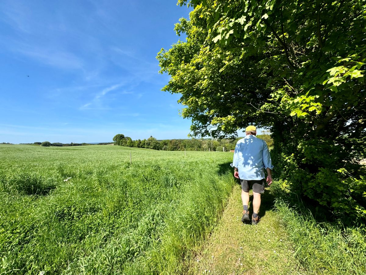 Photo: Radius25
 Højderygstien & Parkering | Geopark Odsherred: 7 km Rute & Kort Asnæs
Description:
Parking: We refer via a Google Maps link to the parking lot where the Højderygstien ends or starts, depending on the hikers' needs. When searching for Dutterhøje, the address Åstoftevej 72 is displayed, but this is not correct. There is a parking space approx. 50 meters before this address.
Introduction: Go exploring along the Højderygstien, a pearl among the many hiking routes in Geopark Odsherred. With the ambition to extend over approx. 40 km from Dragsholm Castle in the south to Lumsås in the north, the first seven km long stage was inaugurated in 2015. The path snakes through the hilly terrain that characterizes Odsherred and offers a fantastic view of the landscape. Start your hike at Høve and Esterhøj, where the parking options are good. Move east over Maglehøj to Dutterhøj and enjoy the changing landscapes along the way. Finally, head back over Esterhøj to the shelter site, where you can light a fire and maybe even spend the night under the starry sky. A walk along the Højderygstien is a journey through history, where you can immerse yourself in the traces of the past and enjoy the beauty of nature on your way.
Geopark Odsherred: Geopark Odsherred has been included in the UNESCO World Heritage List due to its unique geological and cultural historical significance. The area represents an example of Ice Age landscapes and includes the dammed Lammefjord, which has been crucial for human settlement and activity over the centuries. Odsherred's geological formations and landscapes provide a deep insight into the history of the Earth and its influence on life in the region. The placement on the UNESCO World Heritage List recognizes Geopark Odsherred's unique natural heritage and its importance as a cultural and scientific treasure trove.
Opening hours:
Links:


Foreslå en ændring:

Place:
55.822684,11.531438Directions